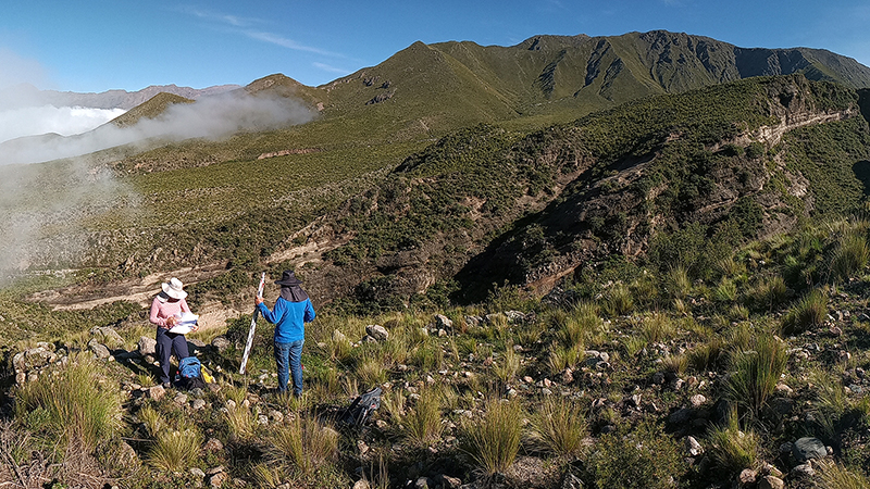
This strand of work consisted of reconnaissance of significant places to local dwellers, families, and communities, which provide a rich material record of both ancestral and contemporary multi-species interaction, circulation, and production practices, as well as of environmental changes at various scales. Besides providing invaluable support for interpreting some of the collected remote sensing data, the activities contributed to a broader effort, pre-existing and ongoing, to develop collaborative, intercultural cartographies in the area. In this way, the project integrated local inhabitant’s perspectives and experiences relative to cultural practices of productivity and connectivity from the onset, leading to a more integrative approach to these typically separated strands of work.
The activities were primarily focused on the upper mountain communities of El Bolsón, Los Morteritos/Las Cuevas, Rodeo Gerván and nearby valleys, with plans for deepening this work in the future, including all areas where remote sensing mapping has been undertaken. The next phase of the project will focus on the co-development of digital and physical outputs for implementing culturally relevant ways of recording, representing, and managing the landscape sustainably.
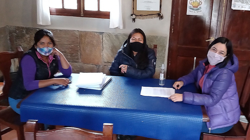
The core team leading this area of work includes archaeologists and anthropologists Matías Lepori, Soledad Melendez, Angeles Molina Pico, Gladis Villagra, Pamela Villagra, and local cultural resource managers, with the support of the wider CIIVAC team.